Waterloo and Southwark 1914: London Sheet 076.3 (Old Ordnance Survey Maps of London): Written by Alan Godfrey, 1992 Edition, (Facsimile of 1914 ed) Publisher: Alan Godfrey Maps [Map]
at Amazon Marketplace
UK GPS Software with Ordnance Survey Maps for PC & PDA Great Britain Southern England
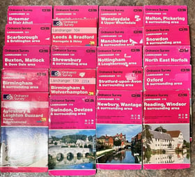
Ordnance Survey Landranger Maps 1:50000 - 32 In The Series
at Oxfam Online Shop
David & Charles - 6 Reprints Of First Edition One-inch Ordnance Survey Maps
Central Belfast 1931: Co Antrim Sheet 61.09 (Old Ordnance Survey Maps of County Antrim) Facsimile of 1931 Edition by McCloy, Alison published by Alan Godfrey Maps (1988)
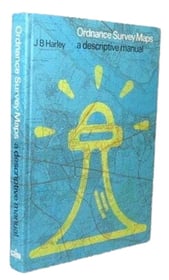
Ordnance Survey Maps: A Descriptive Manual
Ordnance Survey Maps
Bridgwater Ordnance Survey Maps Sheet No. 75
Norwich Ordnance Survey Maps Sheet No. 46
Victorian Ordnance Survey Maps No.72: Brentwood & East London
Ordnance Survey Vintage Maps 1:25,000 - Tl21, Sp44, 31/55
9 Blue Quarter-inch Ordnance Survey Maps Of Scotland
South Shields 1895: Tyneside Sheet 9 (Old Ordnance Survey Maps of Tyneside) Facsimile of 1895 Edition by Young, Roy published by Alan Godfrey Maps (1984)
South Kesteven 1906: One Inch Sheet 143 (Old Ordnance Survey Maps - Inch to the Mile) by Barrie Trinder (2006-08-15)
Leigh (North) 1892: Lancashire Sheet 102.03a (Old Ordnance Survey Maps of Lancashire) by Kay Parrott (2013-03-01)
Old St.Pancras 1871: London Large Scale 07.23 (Old Ordnance Survey Maps of London - Yard to the Mile) by Alan Godfrey (2000-03-03)
Victorian Ordnance Survey Maps Of Scotland:hoy & South Ronaldsay,rousay & Stronsay,westray & Sandray
Three Cloth Ordnance Survey Maps Circ 1930s
8 Blue Ordnance Survey Quarter-inch Maps
Brecon Beacons National Park / Parc Cenedlaethol Bannau Brycheiniog Map | Western Area | Ordnance Survey | OS Explorer Map OL12 | Wales | Walks | Hiking | Maps | Adventure
at Amazon.co.uk
Brecon Beacons National Park / Parc Cenedlaethol Bannau Brycheiniog Map | Weatherproof | Western Area | Ordnance Survey | OS Explorer Active Map OL12 ... Maps | Adventure (OS Explorer Map Active): 12
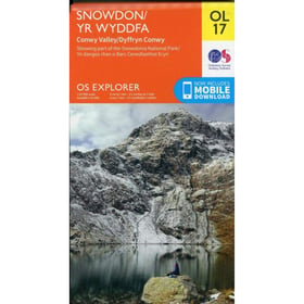
Snowdon / Yr Wyddfa Map | Conwy Valley / Dyffryn Conwy | Ordnance Survey | OS Explorer Map OL 17 | Wales | Walks | Hiking | Maps | Adventure
at OnBuy
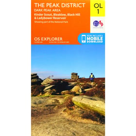
The Peak District: Dark Peak Area Map | Peak District National Park | Ordnance Survey | OS Explorer Map OL 01 | England | Walks | Hiking | Maps | Adv
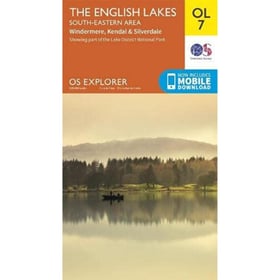
The English Lakes: South-Eastern Area Map | Windermere, Kendal & Silverdale | Ordnance Survey | OS Explorer Map OL7 | England | Walks | Hiking | Maps
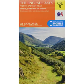
The English Lakes: North-Eastern Area Map | Penrith, Patterdale & Caldbeck | Ordnance Survey | OS Explorer Map OL5 | England | Walks | Hiking | Maps
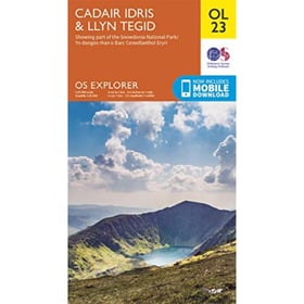
Cadair Idris & Llyn Tegid Map | Snowdonia National Park | Ordnance Survey | OS Explorer Map OL23 | Wales | Walks | Hiking | Maps | Adventure
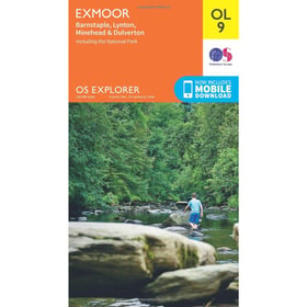
Exmoor Map | Barnstaple, Lynton, Minehead & Dulverton | Ordnance Survey | OS Explorer Map OL9 | England | Walks | Hiking | Maps | Adventure: OL 09
Sound of Harris, North Uist, Taransay and St.Kilda (Landranger Maps) by Ordnance Survey (2003-03-07)
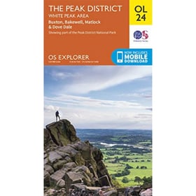
The Peak District: White Peak Area Map | Peak District National Park | Ordnance Survey | OS Explorer Map OL 24 | England | Walks | Hiking | Maps | Ad
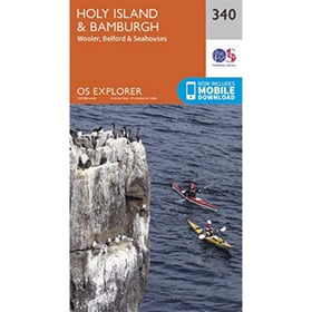
Holy Island & Bamburgh Map | Wooler, Belford & Seahouses | Ordnance Survey | OS Explorer Map 340 | England | Walks | Hiking | Maps | Adventure
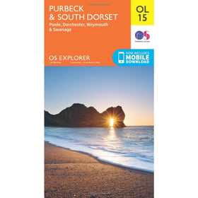
Purbeck & South Dorset Map | Poole, Dorchester, Weymouth & Swanage | Ordnance Survey | OS Explorer Map OL15 | England | Walks | Hiking | Maps | Adven
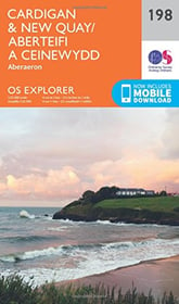
Cardigan & New Quay / Aberteifi a Ceinewydd Map | Aberaeron | Ordnance Survey | OS Explorer Map 198 | Wales | Walks | Hiking | Maps | Adventure
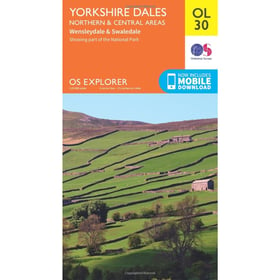
Yorkshire Dales Map | Northern & Central | Ordnance Survey | OS Explorer Map OL30 | England | Walks | Hiking | Maps | Adventure
Holiday Map North 2011 (Irish Maps, Atlases and Guides): Written by Ordnance Survey of Northern Ireland, 2011 Edition, Publisher: Land & Property Services [Map]
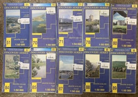
Ordnance Survey Of Ireland - 10 Maps In The Discovery Series
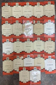
Ordnance Survey 22 One-inch Maps Of Great Britain 1950/60
Jubilee Maps From The Ordnance Survey
Bundle Of 7 Vintage 1940s Ordnance Survey One-inch Folding Maps England & Wales